×

Applications & Maps

State of the Bay

Water

Coastal Ecosystems

Nature-based Infrastructure

Watershed Protection

Resilience

Geospatial

Client / Funder
Location
  • Galveston Bay

A Spotlight on the Galveston Bay Estuary Program Success

The Galveston Bay Estuary Program (GBEP) is a nonregulatory initiative of the Texas Commission on Environmental Quality (TCEQ) dedicated to preserving the health and productivity of Galveston Bay. As one of 28 National Estuary Programs across the United States, GBEP builds collaborative partnerships to ensure the long-term protection and sustainable use of Galveston Bay’s natural resources. 

This work is guided by The Galveston Bay Plan, 2nd Edition, which is a comprehensive roadmap for ecosystem-based management that outlines shared goals, priorities, and action. From 2005 to 2020, GBEP helped implement 131 projects across the Galveston Bay watershed, supporting both ecological health and community resilience.  

This interactive StoryMap provides users with more information about the Galveston Bay Estuary Program and the 131 projects it helped implement, along with showcasing watershed protection plans done to date and the invasive species that can be found in Galveston Bay. Through visualizations, maps, and interactive datasets, this StoryMap allows users to explore the state of Galveston Bay in greater detail and learn more about the Galveston Bay Estuary Program. 

About the Galveston Bay Estuary

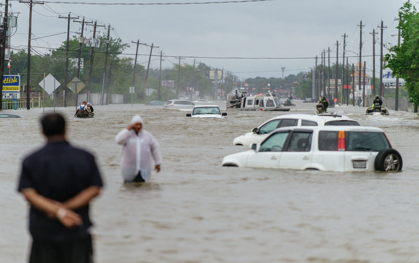
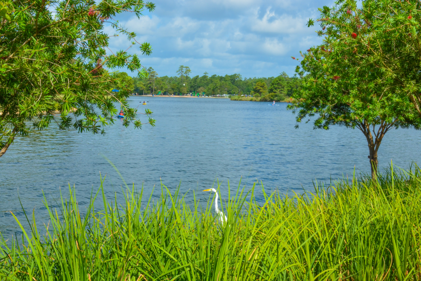
Galveston Bay, the largest estuary in Texas, spans approximately 600 square miles. It receives freshwater from the Lower Galveston Bay watershed, which includes 21 tributary watersheds that drain into five distinct sub-bays. The broader watershed encompasses a diverse mix of urban, suburban, agricultural, and industrial landscapes—each influencing the overall health of the estuary. 


Related Research

array(6) { [0]=> object(WP_Term)#3907 (11) { ["term_id"]=> int(5) ["name"]=> string(5) "Water" ["slug"]=> string(5) "water" ["term_group"]=> int(0) ["term_taxonomy_id"]=> int(5) ["taxonomy"]=> string(8) "programs" ["description"]=> string(0) "" ["parent"]=> int(0) ["count"]=> int(115) ["filter"]=> string(3) "raw" ["term_order"]=> string(1) "9" } [1]=> object(WP_Term)#3908 (11) { ["term_id"]=> int(37) ["name"]=> string(18) "Coastal Ecosystems" ["slug"]=> string(18) "coastal-ecosystems" ["term_group"]=> int(0) ["term_taxonomy_id"]=> int(37) ["taxonomy"]=> string(8) "programs" ["description"]=> string(0) "" ["parent"]=> int(5) ["count"]=> int(34) ["filter"]=> string(3) "raw" ["term_order"]=> string(2) "10" } [2]=> object(WP_Term)#3909 (11) { ["term_id"]=> int(36) ["name"]=> string(27) "Nature-based Infrastructure" ["slug"]=> string(27) "nature-based-infrastructure" ["term_group"]=> int(0) ["term_taxonomy_id"]=> int(36) ["taxonomy"]=> string(8) "programs" ["description"]=> string(0) "" ["parent"]=> int(5) ["count"]=> int(42) ["filter"]=> string(3) "raw" ["term_order"]=> string(2) "11" } [3]=> object(WP_Term)#3910 (11) { ["term_id"]=> int(35) ["name"]=> string(20) "Watershed Protection" ["slug"]=> string(20) "watershed-protection" ["term_group"]=> int(0) ["term_taxonomy_id"]=> int(35) ["taxonomy"]=> string(8) "programs" ["description"]=> string(0) "" ["parent"]=> int(5) ["count"]=> int(32) ["filter"]=> string(3) "raw" ["term_order"]=> string(2) "12" } [4]=> object(WP_Term)#4022 (11) { ["term_id"]=> int(62) ["name"]=> string(10) "Resilience" ["slug"]=> string(10) "resilience" ["term_group"]=> int(0) ["term_taxonomy_id"]=> int(62) ["taxonomy"]=> string(8) "programs" ["description"]=> string(0) "" ["parent"]=> int(0) ["count"]=> int(61) ["filter"]=> string(3) "raw" ["term_order"]=> string(2) "13" } [5]=> object(WP_Term)#3905 (11) { ["term_id"]=> int(3) ["name"]=> string(10) "Geospatial" ["slug"]=> string(10) "geospatial" ["term_group"]=> int(0) ["term_taxonomy_id"]=> int(3) ["taxonomy"]=> string(8) "programs" ["description"]=> string(0) "" ["parent"]=> int(0) ["count"]=> int(61) ["filter"]=> string(3) "raw" ["term_order"]=> string(2) "14" } } 4064