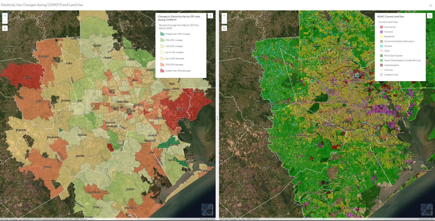
Melissa Lanclos is the Senior Manager of Geospatial and Analytics, overseeing HARC’s Geographic Information Systems (GIS) team. The team uses geospatial and analytical tools to perform analysis and develop data, maps, and applications to support HARC’s research and program implementation initiatives. Ms. Lanclos focuses on incorporating new GIS data and technologies into HARC’s work, providing visual support for sustainability and resiliency projects in the region.
Before joining HARC, Ms. Lanclos worked for several organizations involving natural resource-based GIS. She was the GIS Manager with the San Jacinto River Authority, and has also been a part of the GIS team for an organization that helped oil and gas corporations mitigate and minimize an incident’s impact on the environment. In addition, Ms. Lanclos also worked for a non-profit natural resource-based organization partnering with the United States Geological Society (USGS), the Environmental Protection Agency (EPA), the Missouri Department of Conservation (MDC), and the Missouri Department of Natural Resources (MDNR) on a wide range of projects.
Ms. Lanclos earned her Master of Arts and Bachelor of Arts in Geography from the University of Missouri-Columbia. Her Master’s thesis focused on using remote sensing data to analyze urban development through land use/land cover change over time in the fastest-growing city in Missouri.