When it comes to data, sometimes seeing is believing. HARC uses a variety of geospatial and analytical tools to help our partners better understand air, water, and energy challenges and solutions.
Through our geospatial platform, we create private and public applications using maps, charts, and other visualization methods that bring data to life.
View Geospatial ResourcesData can tell a story. Our team uses an integrated geospatial and analytics platform to produce interactive dashboards, analytical tools and, custom online viewers that provide context for a variety of data sets.
Visit HARC’s online gallery to learn more.
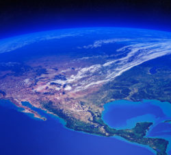
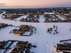
In February 2021, Winter Storm Uri slammed Texas’ energy and water systems, took hundreds of lives, and caused billions in economic losses. Our geospatial analysis describes Uri’s impacts on electricity generation, natural gas and water supplies, and air quality, and highlights strategies to improve resource resilience at the household, community, and statewide levels.
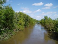
Can you name your local watershed? It’s OK. Most people can’t. Our team is helping break down knowledge barriers and opening access to large and rich databases. Our interactive Find Your Watershed tool is a great way to find out what watershed you live in and how your watershed connects to Galveston Bay. All you need to get started is an address.